The existing pattern of urbanization in the Central Valley tends to follow a linear trend with dense central nodes being the main cities, such as, Bakersfield, Fresno, Sacramento, up to Redding with smaller centers in between and a gradation of density that connect each urban center. The linear form uses the 99 Highway as a backbone with most of the urbanism occurring on or to the East side of the highway with more agricultural farmland or grazing land to the west. At the current time the population density of the Central Valley is 286 people per square mile over 22,500 square miles. While land dedicated to agriculture is about 15% of total land, 14.5 million acres of farmland and grazing land. Being contained within the two mountain ranges, the Central Valley is a unique area that is in between being a rural and urban metropolitan area. The infrastructure is reminiscent of Midwest agricultural areas and suburban communities, while becoming progressively more industrial because of it position within the state.
Considering the importance of the agricultural land in terms of food production for California, as well as, much of the United States, the goal of this proposal is to manage future urban growth to mitigate the problem of losing valuable agricultural land. Latest projections show that if current trends continue 1.3 million acres of agricultural land, including 670,000 acres of prime unique farmland will be lost to urbanization by 2050. (California Farm Bureau Federation)
The future proposed growth continues the linear pattern of urbanization and restricts it to follow the path of the 99 Highway more exclusively while allowing the dispersion of urbanization to become more uniform, becoming a band of uniform density of 2516 people per square mile (Bakersfield level of density). Extending from the south up north to the Sacramento river, leaving the northern section of the valley exclusively for agricultural lands with little urbanization. Allowing more of the West side of the 99 Highway be dedicated to agriculture, reducing the loss of valuable land that is used to produce food for much of the state, as well as, the United States.
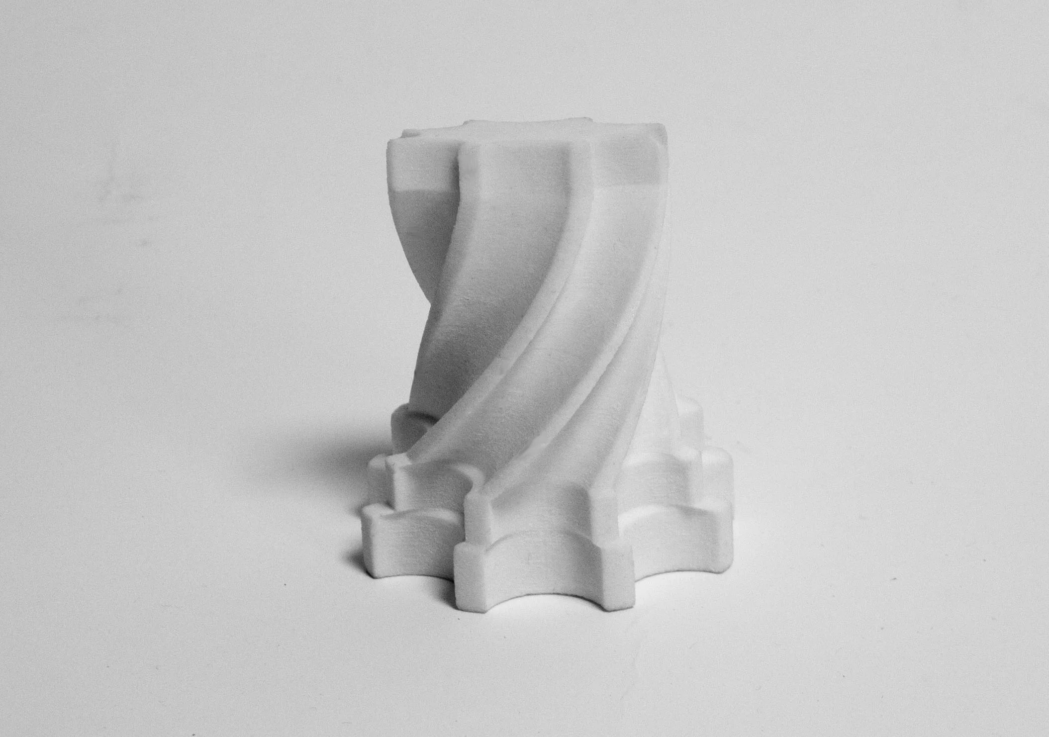
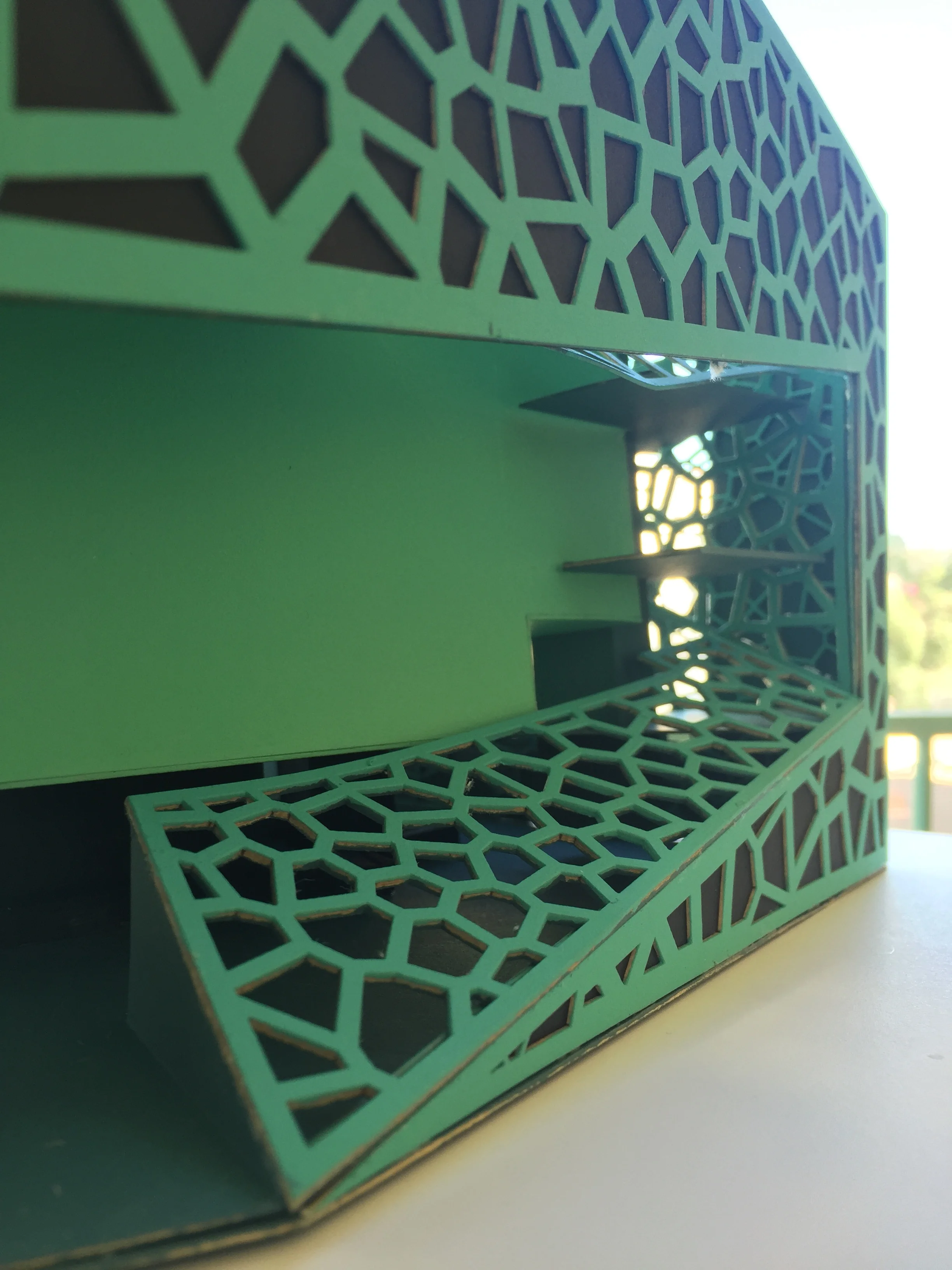
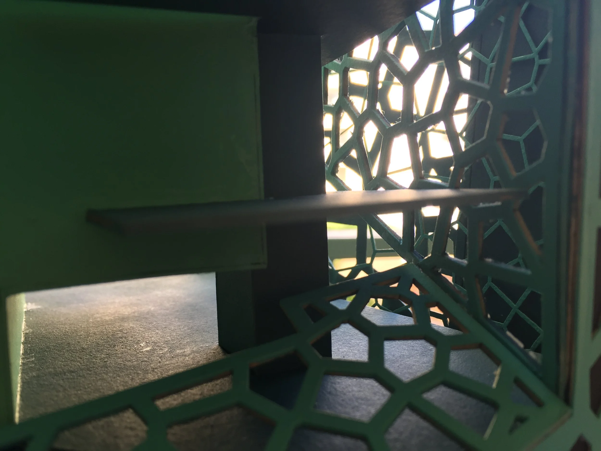
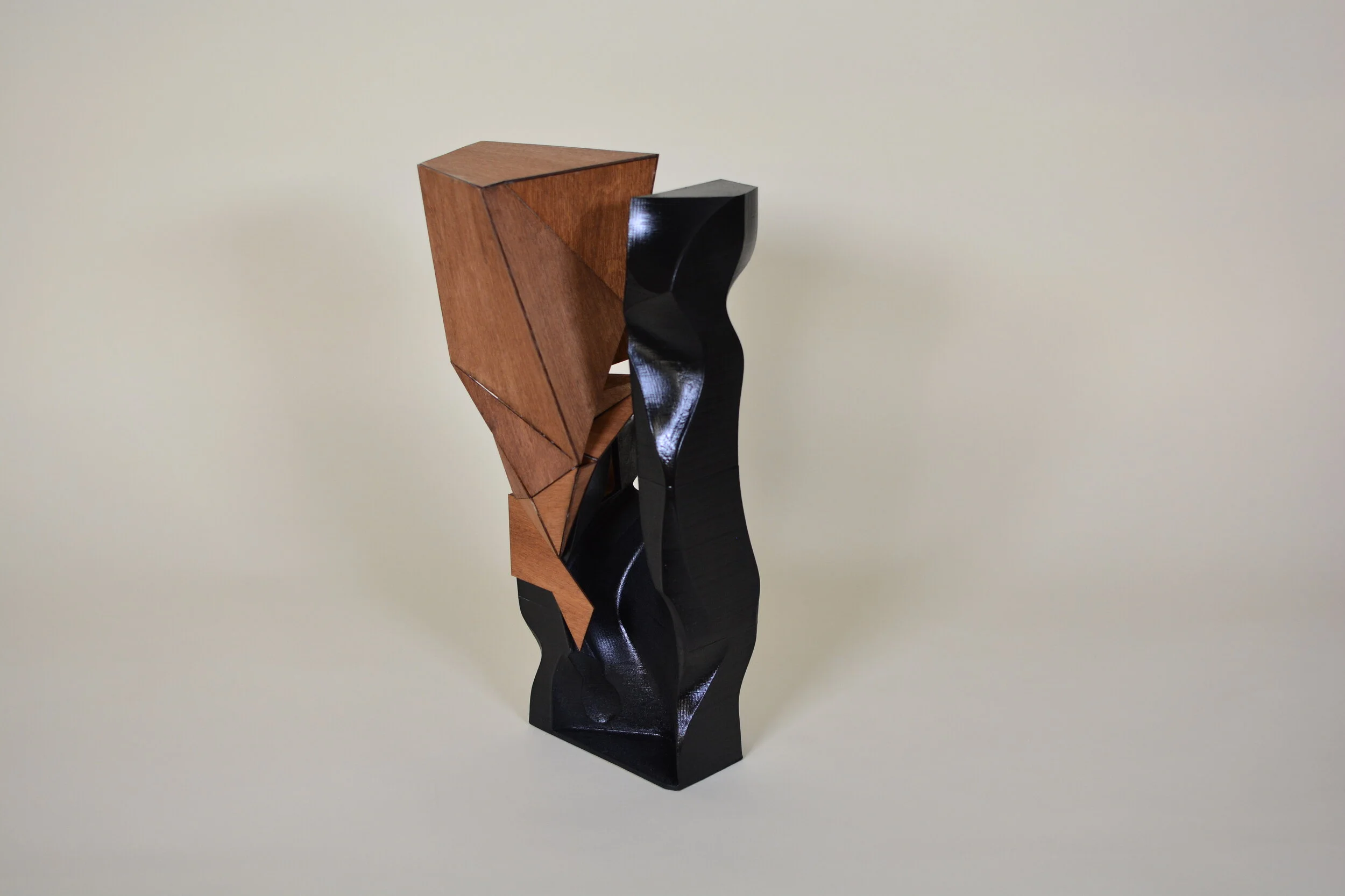
The intention behind the design was to produce a simple form that was very minimal in every aspect from construction to orientation, while adding unique accents. It is a form that can be transformed to any use, using industrial designs as inspiration. Each face is specifically designed for its orientation allowing for the building to be easily rotated depending on need. implementing extra thick walls on the south and west sides that allows for thermal mass during the hot daytime hours and using many inset windows and louvers for indirect natural lighting.
Materials and color palettes were chosen to be natural and warm to more reflect the Central Valley. A Base of locally sourced rammed earth is used for the main construction of the form with the accents of wood, concrete, and blue aluminum panels.
The program of the 1-story prototype is a veterinarian hospital and the 3-story prototype contains the vet hospital, as well as, a facility for the study of infrastructure, and an atmospheric monitoring station.
The Central Valley is split into 3 zones, one for each of the material palettes. The zones were chosen mainly on economic regions and follow the same logic as the defining of the Central Valley in the previous stage.
Zone A being the northern region, encompassing Sacramento and Redding uses the wood palette, due to the more agricultural, natural, and wildlands in the area.
Zone B being the central region encompassing Fresno and Stockton uses the concrete palette, because of the more industrial nature of the economic area.
Zone C being the Southern region, which includes mainly Bakersfield uses the blue aluminum palette.
The dispersion of the buildings follows simple rules. The one-story veterinarian hospital will be specializing in livestock, so will be evenly distributed through agricultural areas, grouping in grazing and livestock areas. The three-story prototypes will be distributed in more urbanized areas, being drawn to universities and airports due to the facility for the study of infrastructure and atmospheric
monitoring station.








![Plans_and_Sections_Hayley_11.13.18 [Converted]_Page_2.jpg](https://images.squarespace-cdn.com/content/v1/5a611c02b07869cf5b253506/1562887611499-1FO9O7BTH2L0T7TLZMJP/Plans_and_Sections_Hayley_11.13.18+%5BConverted%5D_Page_2.jpg)
![wall section final [Converted].jpg](https://images.squarespace-cdn.com/content/v1/5a611c02b07869cf5b253506/1562887573002-NIZ3Y2BAPIUWJ088E2LM/wall+section+final+%5BConverted%5D.jpg)
